Puerto de Tazacorte
Allow time for a walk along the coast. If you plan to swim, check the sea conditions and follow local signs.
View on map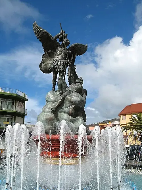
Tazacorte
Plan a visit to Tazacorte. Discover landscapes, neighbourhoods and places of interest in the guide and check access before you go. Start with Puerto de Tazacorte and Museo del Plátano.
Allow time for a walk along the coast. If you plan to swim, check the sea conditions and follow local signs.
View on mapMake time for an indoor visit and learn about local history, traditions or crafts. Confirm opening hours in advance.
View on mapPlan the visit in two stops and allow time to travel between them. Check official information before walking, entering a protected area or swimming.
PVGIS typical meteorological year (2005–2020) at the reference point. Sunshine uses hourly direct irradiance of at least 120 W/m²; daylight is calculated from latitude. Both are average hours per day. Conditions vary between the coast, uplands and mountains.
Tazacorte · 28.6407, -17.9333 · 114 m
| Month | Mean temperature (°C) | Sunshine (h) | Daylight (h) |
|---|---|---|---|
| Jan | 17.1 | 8.6 | 10.5 |
| Feb | 16.7 | 7.4 | 11.1 |
| Mar | 16.5 | 8.6 | 11.9 |
| Apr | 16.7 | 8.1 | 12.8 |
| May | 17.2 | 6.7 | 13.6 |
| Jun | 19.4 | 10.3 | 13.9 |
| Jul | 21.1 | 11.4 | 13.8 |
| Aug | 21.5 | 10.3 | 13.1 |
| Sep | 21.8 | 10.0 | 12.3 |
| Oct | 21.0 | 7.2 | 11.4 |
| Nov | 19.7 | 7.1 | 10.7 |
| Dec | 18.2 | 8.1 | 10.3 |