La Calera
Explore the streets and squares on foot and pause to look at the traditional buildings.
View on map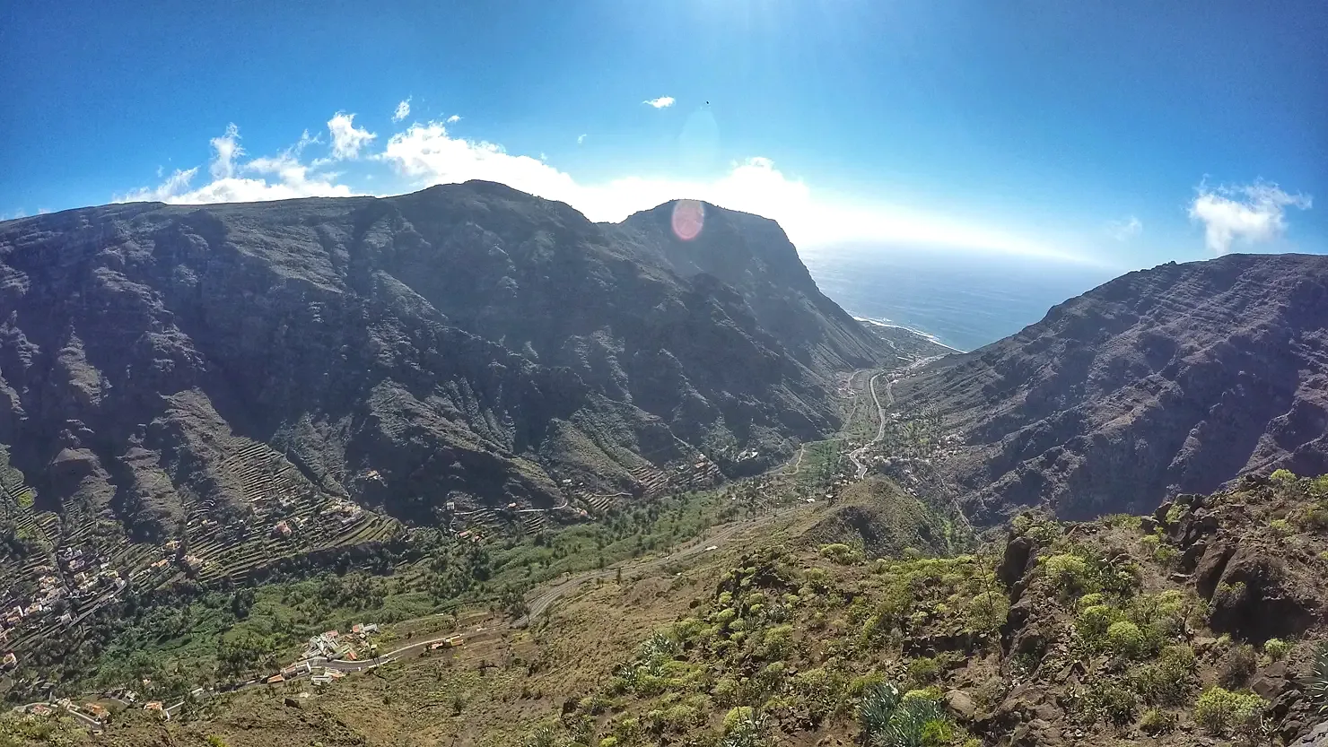
Valle Gran Rey
Plan a visit to Valle Gran Rey. Discover landscapes, neighbourhoods and places of interest in the guide and check access before you go. Start with La Calera and Charco del Conde.
Explore the streets and squares on foot and pause to look at the traditional buildings.
View on mapSee how the volcanic shore shapes the bathing area. Check local notices, tides and swell before entering the water.
View on mapPlan the visit in two stops and allow time to travel between them. Check official information before walking, entering a protected area or swimming.
PVGIS typical meteorological year (2005–2020) at the reference point. Sunshine uses hourly direct irradiance of at least 120 W/m²; daylight is calculated from latitude. Both are average hours per day. Conditions vary between the coast, uplands and mountains.
Valle Gran Rey · 28.0952, -17.3351 · 46 m
| Month | Mean temperature (°C) | Sunshine (h) | Daylight (h) |
|---|---|---|---|
| Jan | 18.6 | 6.9 | 10.6 |
| Feb | 17.2 | 5.4 | 11.2 |
| Mar | 18.4 | 6.7 | 12.0 |
| Apr | 19.3 | 8.8 | 12.8 |
| May | 19.5 | 9.2 | 13.5 |
| Jun | 20.9 | 9.8 | 13.9 |
| Jul | 21.6 | 10.6 | 13.7 |
| Aug | 23.0 | 9.6 | 13.1 |
| Sep | 22.7 | 7.5 | 12.3 |
| Oct | 22.1 | 6.9 | 11.4 |
| Nov | 20.9 | 7.0 | 10.7 |
| Dec | 19.5 | 6.1 | 10.4 |