Roque Nublo
A landscape stop for a walk. Choose a route that suits your experience, and check which paths are open.
View on map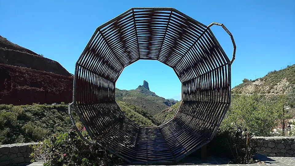
Tejeda
Plan a visit to Tejeda. Discover landscapes, neighbourhoods and places of interest in the guide and check access before you go. Start with Roque Nublo and Cruz de Tejeda.
A landscape stop for a walk. Choose a route that suits your experience, and check which paths are open.
View on mapTake in the landscape from this vantage point. Visibility, wind and access can affect the visit.
View on mapPlan the visit in two stops and allow time to travel between them. Check official information before walking, entering a protected area or swimming.
PVGIS typical meteorological year (2005–2020) at the reference point. Sunshine uses hourly direct irradiance of at least 120 W/m²; daylight is calculated from latitude. Both are average hours per day. Conditions vary between the coast, uplands and mountains.
Tejeda · 27.9950, -15.6156 · 1010 m
| Month | Mean temperature (°C) | Sunshine (h) | Daylight (h) |
|---|---|---|---|
| Jan | 14.5 | 7.1 | 10.6 |
| Feb | 15.0 | 5.6 | 11.2 |
| Mar | 16.0 | 9.2 | 12.0 |
| Apr | 15.6 | 9.5 | 12.8 |
| May | 17.7 | 10.4 | 13.5 |
| Jun | 18.8 | 11.4 | 13.9 |
| Jul | 20.4 | 11.1 | 13.7 |
| Aug | 21.4 | 10.2 | 13.1 |
| Sep | 20.7 | 8.9 | 12.3 |
| Oct | 19.8 | 7.6 | 11.4 |
| Nov | 16.7 | 6.2 | 10.7 |
| Dec | 15.1 | 4.6 | 10.4 |